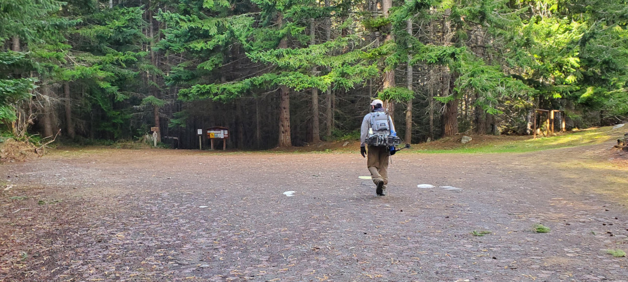
 We parked shortly after 6am in front of snow (near a bible camp). Elevation ~2400'.
If you have a jeep, may drive all the way to the TH. We walked ~2 miles. Snow on and off.
Many Trillian on the side of the road.
We parked shortly after 6am in front of snow (near a bible camp). Elevation ~2400'.
If you have a jeep, may drive all the way to the TH. We walked ~2 miles. Snow on and off.
Many Trillian on the side of the road.
Followed the trail for less than 0.5 mile. After a small creek crossing, we headed up the slope. ~2900'.
 It was very steep for the next 3000', especially the first 1000'.
The higher it is, the less steep, but more blowdowns.
Saw a few glacier lilies on the lower slope.
I put on snowshoes ~5500'.
It was very steep for the next 3000', especially the first 1000'.
The higher it is, the less steep, but more blowdowns.
Saw a few glacier lilies on the lower slope.
I put on snowshoes ~5500'.
 Once on the ridge, the view gets better, even with all these clouds.
It's still going up, but a lot more gentler.
At first, we had to go on the side sometimes, then, it becomes a flat broad plateau, so easy walking.
Once on the ridge, the view gets better, even with all these clouds.
It's still going up, but a lot more gentler.
At first, we had to go on the side sometimes, then, it becomes a flat broad plateau, so easy walking.
 Then it's a more rockier ridge, partially with snow.
Quite windy. The snow are frozen on the west side of the rocks or plants.
From afar, they look like white flowers. Quite cute.
Going up to North Chiwaukum looks steep, but it's fairly easy.
MY decided to sit this one out. It wa cold, and the summit was in clouds.
The rest of us continued, with snowshoes packed onto our back.
Then it's a more rockier ridge, partially with snow.
Quite windy. The snow are frozen on the west side of the rocks or plants.
From afar, they look like white flowers. Quite cute.
Going up to North Chiwaukum looks steep, but it's fairly easy.
MY decided to sit this one out. It wa cold, and the summit was in clouds.
The rest of us continued, with snowshoes packed onto our back.
It's possible to go on the west side of the slope to minimize elevation gain, but going over North is much safer than traversing a steep snow slope.
 From the summit of North Chiwaukum, we dropped down in very gentle slope, all along we could mostly avoid snow.
We couldn't see our destination due to clouds, other than it's close.
But we could see the bump before the Middle Chiwaukum, which is steep-ish and on packed snow.
We stashed our snowshoes somewhere in the snow in the saddle.
From the summit of North Chiwaukum, we dropped down in very gentle slope, all along we could mostly avoid snow.
We couldn't see our destination due to clouds, other than it's close.
But we could see the bump before the Middle Chiwaukum, which is steep-ish and on packed snow.
We stashed our snowshoes somewhere in the snow in the saddle.

 Before tackling the "bump", VJ and I put on crampons and helmets.
I brought mine, because VJ told me during our last hike that there's a sketchy part here, where he turned around last time.
The slope is not very steep, nor too narrow, fairly safe if you have ice axe and crampons.
I matched ahead.
Sai didn't bring crampons, so he gave up when the slope got a bit steeper.
Before tackling the "bump", VJ and I put on crampons and helmets.
I brought mine, because VJ told me during our last hike that there's a sketchy part here, where he turned around last time.
The slope is not very steep, nor too narrow, fairly safe if you have ice axe and crampons.
I matched ahead.
Sai didn't bring crampons, so he gave up when the slope got a bit steeper.
 Once on the top of this bump, we could see that the rest was all on rocks.
I dumped my crampons on the edge of the snow.
VJ scrambled on to the rocks with his crampons on.
It looks steeper than it actually is. Fairly easy. I arrived at 1:10pm.
Once on the top of this bump, we could see that the rest was all on rocks.
I dumped my crampons on the edge of the snow.
VJ scrambled on to the rocks with his crampons on.
It looks steeper than it actually is. Fairly easy. I arrived at 1:10pm.

 No summit registry. It has a small flat top.
VJ and I decided to wait a bit for the clouds to clear.
So we ate lunch hiding behind some rocks, but the rocks are not big enough to block all wind. Quite chilly.
The wait paid off somewhat. Clouds moved fast, and we were able to snap a few decent summit photos.
After ~20 minutes, we headed down the same way.
I put on crampons at the bottom of the rock, and slowly went down the bump.
No summit registry. It has a small flat top.
VJ and I decided to wait a bit for the clouds to clear.
So we ate lunch hiding behind some rocks, but the rocks are not big enough to block all wind. Quite chilly.
The wait paid off somewhat. Clouds moved fast, and we were able to snap a few decent summit photos.
After ~20 minutes, we headed down the same way.
I put on crampons at the bottom of the rock, and slowly went down the bump.
 On the saddle, I went on the opposite side of some rock pile, and completely missed my snowshoes.
Once I realized that I went too far, I walked back to look for them.
Thankfully, VJ picked up my snowshoes, and was walking with both hands full.
Went over the North Chiwaukum, and down, met up with Sai on the other side.
By then, we could see some blue sky. Views are actually quite good!
On the saddle, I went on the opposite side of some rock pile, and completely missed my snowshoes.
Once I realized that I went too far, I walked back to look for them.
Thankfully, VJ picked up my snowshoes, and was walking with both hands full.
Went over the North Chiwaukum, and down, met up with Sai on the other side.
By then, we could see some blue sky. Views are actually quite good!
Going down the ridge, at one point, Sai realized that he lost one snowshoe. I don't know how it was possible. We all laughed about it. It took him quite some time to locate his snowshoe. Then we met 2 snowshowers going up. They were marching fast. We were informed that MY was waiting at a flat spot. We didn't see him. VJ checked his phone, and saw some messages from MY, and they actually were able to talk on the phone. We didn't see him until back at the car.
The crease on my left boot was hurting me on the way down. Combined with the tension from the snowshoes, it was getting more and more painful, until I took off snowshoes. (I threw the shoe away as soon as I got home!)

 Going down the forest is brutal, especially below snow level.
I actually put spikes on and took out ice axe to help my traction.
We tried to stay on the ridge, but the down trees forced us to find alternative paths.
Funny that VJ found an ice axe. Later I saw on WTA, "kids won't hike"'s trip report of 2021 mentioned that he lost an ice axe.
Going down the forest is brutal, especially below snow level.
I actually put spikes on and took out ice axe to help my traction.
We tried to stay on the ridge, but the down trees forced us to find alternative paths.
Funny that VJ found an ice axe. Later I saw on WTA, "kids won't hike"'s trip report of 2021 mentioned that he lost an ice axe.
All is well, no one got hurt. We were back at the car a little past 7pm. Total 10 miles 5800', but took almost 13 hours. Chatted with MY before driving back, because we hadn't seen him since the ridge. I was dropped off near my pick up point this morning, and walked 20 minutes home. 10pm! I left home at 3:30 in the morning. A long day.