 Necklace Valley is a very long hike with mosquitoes in this time of the year. First 5 miles leveled, uninteresting (~2 hrs. I saw an owl on the way back!). Shaded, sometimes overgrown, soft footing. Obstructed view, deep valley, some bugs. Often very close to the river. After crossing a log bridge at mile 5 after a big camp site, it gets steeper and rougher (tree roots or rocks): gaining 2550 ft in 2.2 miles.
  Reached the first lake, Jade, and a camp site at ~7.5 miles (~3 hrs). Now the trail gets muddy at times, hundreds of mosquitoes descend on you as soon as you pause. At the end of this lake (good fishing?), there's a log cabin, pretty run down, but can provide shelter. Up and down, 2 more ugly lakes to Opal Lake (with a red hue), more or less at the same elevation. Keep going straight, camped at the end of the valley, where the scenery gets better (~1 hr from the first lake). It rained at night.
 Sunday, continue southwest up to Foehn Lake. ~1000 ft gain. This area is much more interesting: open, hanging ice fields, tarns with floating ice, carpets of pink and white heather. No clear trail. Some cairns identify the general direction. Mosquitoes disappeared half way up.
It's also possible to go southeast up to La Bohn Lake. The slope is steep, looks treacherous. Maybe next time. Fall is a good time. Lots of huckleberry in the valley, and more lakes to be explored.

Left the camp at 2pm, arrived at car at 7:30.
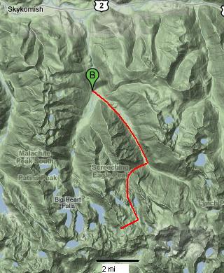
Logistics: 1:45 drive from downtown Seattle. Highway 2 ~1.8 miles east of Skykomish. Turn south on Foss River Road (#68). Keep straight for 4.1 mile (half gravel). Parking lot on the left.
7.5 mile, ~ 3000 ft gain to the first lake.