2005.7.10. Mostly cloudy, drizzle at times, cool.
Direction: I90 exit 45, turn north (left) on FS road 9030, stay left to road 9031. 3 miles, mostly gravel.
Level: 10Km rt, 1Km elevation gain.
The trail starts very leveled, a nice warm up. The first 2 miles are forested, lined with lots of twin flowers, some leftover bunchberry, thimbleberry, and occasionally tiny roses.
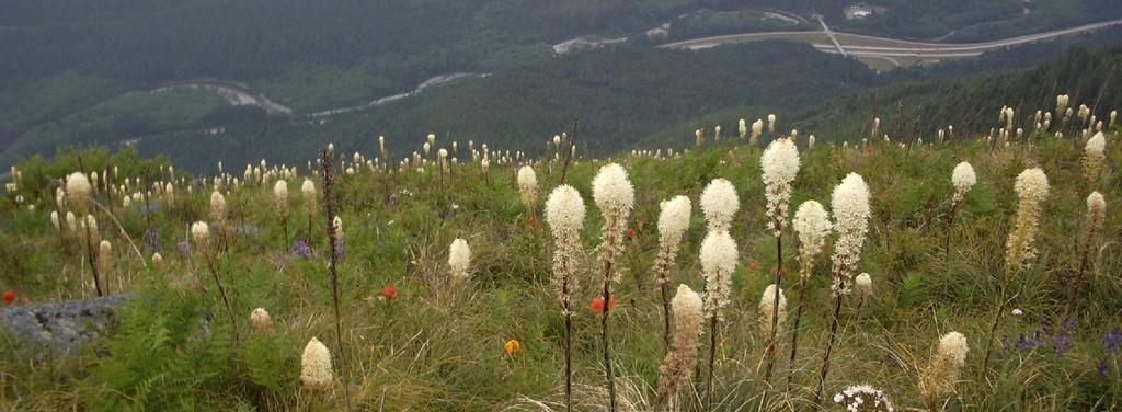
Soon after emerging from the trees, the trail splits to the left (Mason Lake) and straight up (Bandera Mt). Steep! Boulders, and millions of beargrasses! Paintbrushes, lupines and some thistles, tiger lilies, made the slope more colorful.
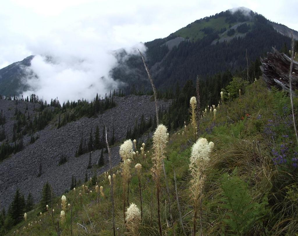
From the slope, you can see (and hear) I-90. The view is quite pleasant: McClellen Butt en face, Mt Defiance close by to the west, clouds draping the slopes, downtown Seattle appearing out of the mists from time to time.
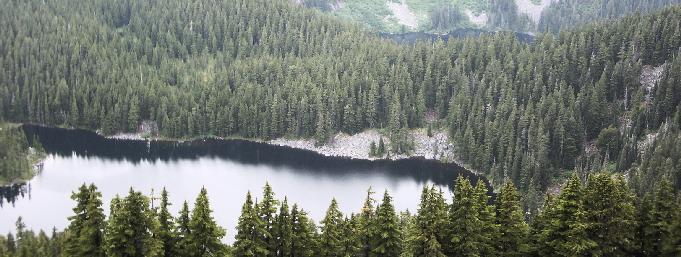 At the ridge, more heathers and penstemons. A better view of Mason Lake, and several peaks to the north. On a clear day, it's possible to see Mt Rainier.